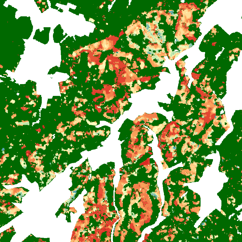
Release of the Tree Canopy Cover Loss Map for Germany in the EOC Geoservice
The product shows monthly tree canopy cover loss information between January 2018 and April 2021 for Germany. The dataset is based on image composites of the disturbance index (DI) derived from Sentinel-2 and Landsat-8 time series. In addition, different maps of tree canopy cover loss in Germany per district (Landkreis) are available depicting the losses for different forest types in absolute numbers and in percentages.
The datasets are now available in the EOC Geoservice Webapp [1] and can also be downloaded from the EOC Download Service [2]. Further information on the product is available on the DLR news website [3].


