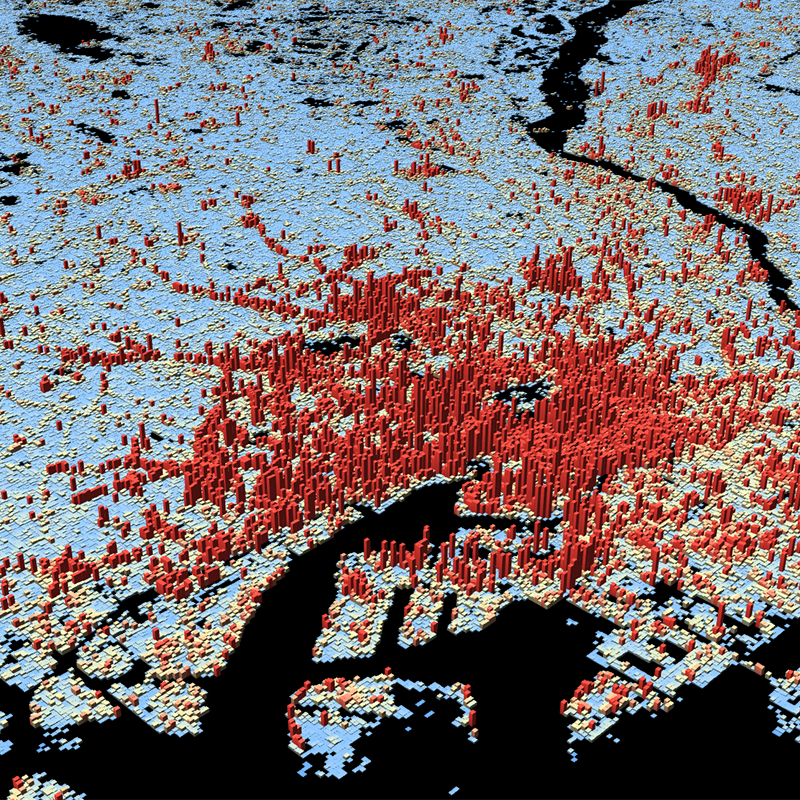
Release of the World Settlement Footprint 3D Data Sets in the EOC Geoservice
The World Settlement Footprint (WSF) 3D datasets provide detailed quantification of the average height, total volume, total area and the fraction of buildings at 90 m resolution at a global scale. It is generated using a modified version of the World Settlement Footprint human settlements mask derived from Sentinel-1 and Sentinel-2 satellite imagery in combination with digital elevation data and radar imagery collected by the TanDEM-X mission. [1].
In addition to the 2D view in the WMS, the data is also accessible to the user in a 3D view. It is a derivative of the WSF3D raster dataset tailored for the web. As a tiled vector dataset, it enables dynamic client-side visualization of the WSF3D metrics.
The WSF 3D datasets can be explored via EOC GeoService Webappp [2], via the 3D Viewer [3] or can be downloaded directly from the EOC Download Service [4].


